
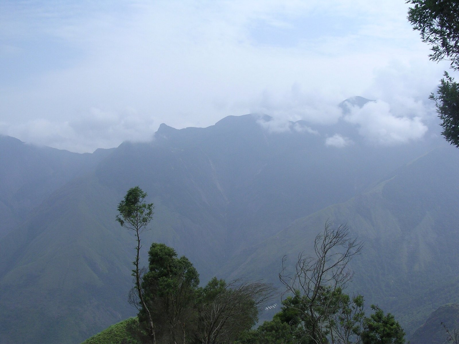
Quick answer Top Station is a viewpoint about 32 km from Munnar, at around 1,700 m on the Kerala–Tamil Nadu border, with sweeping views over the Theni valley. Road access is only from the Kerala side, via Mattupetty, Echo Point and Kundala Lake. It is worth the drive on a clear day, so go early: mist often rises by late morning and can hide the view completely.
Key facts at a glance
| Distance from Munnar | About 32 km |
| Route | Via Mattupetty, Echo Point and Kundala Lake |
| Altitude | Around 1,700 m |
| Location | Kerala–Tamil Nadu border; the view looks over Theni district |
| From parking | A short but steep walk to the viewpoint |
| Best time of day | Early, before the mist rises |
Is Top Station worth visiting?
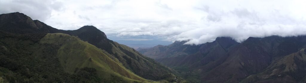
Yes, if the weather plays along. On a clear morning you look straight down into the Theni valley and across the Western Ghats. On a misty day you may see nothing but cloud, which is why the stops on the way matter: Mattupetty, Echo Point and Kundala Lake make the drive worthwhile even if the top is clouded over.
Why is it called Top Station?
In the early 1900s, tea from Munnar’s estates travelled on the Kundala Valley Railway to this point. The line began as a monorail in 1902 and became a narrow-gauge railway in 1908. From Top Station, tea chests went down a ropeway about 5 km to the valley below, then by cart to Bodinayakkanur and onward by rail. A great flood in 1924 destroyed the railway, but the name stayed. A wheel from the old railway is on display at the Tea Museum in Munnar.
Tips for visiting Top Station
- Go earlyReach before mid-morning for the best chance of clear views.
- Wear good shoesThe path from the parking area to the viewpoint is short but steep and can be slippery.
- Carry a layerIt is windy and noticeably colder than Munnar town.
- Do not trek aloneTreks down towards Kurangani are regulated by the forest department. Go only with an authorised guide and permit.
- Make a day of the roadCombine Top Station with Mattupetty, Echo Point and Kundala Lake. See our list of top places to visit in Munnar.
When is the best time to visit Top Station?
The drier months, from December to April, give the best chance of clear views. In the monsoon, expect mist and rain. The area is also known for Neelakurinji, which blooms roughly once every 12 years; the next mass bloom is expected around 2030. See our guide to the best time to visit Munnar.
Frequently asked questions
How far is Top Station from Munnar?
About 32 km, around an hour each way without stops.
Is Top Station in Kerala or Tamil Nadu?
It sits on the border. The road comes from the Kerala side, and the view looks over Theni district in Tamil Nadu.
What is the best time to visit Top Station?
Early in the day, and in the drier months from December to April, for the clearest views.
Is Top Station worth it in the monsoon?
Only if you enjoy mist. The view is often completely clouded over during heavy rain.
Make the most of the Top Station road
We plan the drive so you reach Top Station early and see Mattupetty, Echo Point and Kundala on the way. WhatsApp or call +91 83049 33066, 9 am–5 pm, every day.
Or explore all our trips on the YatraKraft home page.